If you follow Hyderabad’s real estate market or travel around the city, you may have heard about ORR and RRR. Both are ring roads, but they serve different purposes and connect different areas.
In simple terms, the Outer Ring Road (ORR) connects areas around Hyderabad, while the Regional Ring Road (RRR) is planned farther outside the city to connect nearby towns and major highways.
Let’s understand their differences, including their routes, lengths, connectivity, project status and possible impact on real estate.
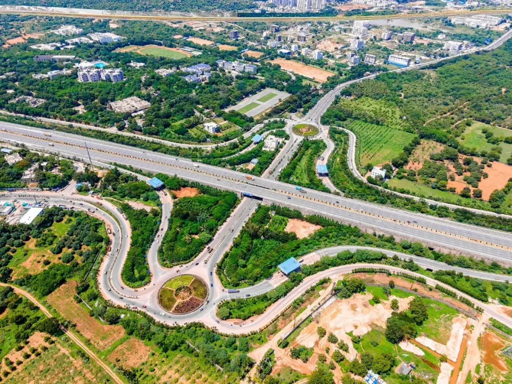
1. First, What Are ORR and RRR?
Think of Hyderabad as a growing city surrounded by several towns and development areas. As the city expands, people need better roads to travel between these places without entering busy city areas.
That is where ring roads help. A ring road forms a large loop around a city or region. It allows vehicles to travel between different locations and connect with major highways.
Here is the basic difference:
- ORR (Outer Ring Road): An existing expressway that connects areas around Hyderabad’s metropolitan region.
- RRR (Regional Ring Road): A larger regional road project that aims to connect towns and highways farther outside the ORR.
Therefore, these roads do not compete with each other. Instead, they serve different travel needs and cover different distances.
2. What Is ORR Hyderabad?
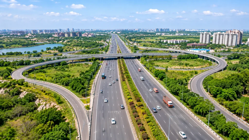
The Nehru Outer Ring Road (ORR) is an access-controlled expressway around Hyderabad. It helps people travel between different parts of the metropolitan area and reach major highways without driving through the busy city centre.
For example, someone travelling from Patancheru towards Shamshabad can use the ORR instead of crossing several busy city roads.
ORR at a Glance
- Length: Approximately 158 km
- Road configuration: Eight-lane, access-controlled expressway
- Interchanges: HMDA’s ORR information refers to 19 interchange locations
- Main purpose: Connects metropolitan areas and major highways
- Development agency: Hyderabad Growth Corridor Limited (HGCL), a joint venture associated with HMDA
- Status: Operational
The ORR connects or provides access to several important locations, including:
- Patancheru
- Dundigal
- Medchal
- Shamirpet
- Ghatkesar
- Pedda Amberpet
- Bongulur
- Tukkuguda
- Shamshabad
- Rajendranagar
- Narsingi
However, the exit you need will depend on your destination and direction of travel.
For more details, check HMDA’s official ORR maps and information.
3. What Is RRR Hyderabad?
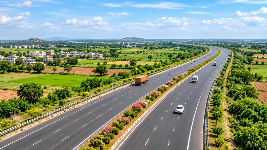
The Hyderabad Regional Ring Road (RRR) is a much larger road project outside the existing ORR. The project aims to improve travel between towns, districts and major highways across the wider Hyderabad region.
Unlike the ORR, the RRR will cover a much larger area. The proposed route has two main sections: the northern section and the southern section.
Northern Section
The proposed northern route connects:
Sangareddy → Narsapur → Toopran → Gajwel → Jagdevpur → Bhongir → Choutuppal
According to the Telangana Roads & Buildings Department, this section measures approximately 161 km.
Southern Section
The proposed southern route connects:
Choutuppal → Amangal → Shadnagar → Sangareddy
The Telangana Roads & Buildings Department lists this section at approximately 201 km.
Together, these two sections cover approximately 362 km.
However, HMDA also describes the proposed RRR as approximately 354 km. Why do these figures differ? Different government documents use different project descriptions and alignment measurements.
Therefore, it is safer to describe the proposed RRR as approximately 350–362 km rather than treating one figure as final.
RRR at a Glance
- Proposed length: Approximately 350–362 km, depending on the government document
- Sections: Northern and southern
- Proposed road configuration: Six-lane expressway
- Main purpose: Connects regional towns and highways outside Hyderabad’s metropolitan road network
- Status: Project development, approvals, land and tender processes continue section by section
For the proposed route, refer to HMDA’s official RRR alignment page. Remember that this map shows a proposed alignment. It does not show an operational road that you can use for travel today.
4. RRR vs ORR Hyderabad: Main Differences
Now that we understand both roads, let’s compare them side by side.
| Feature | ORR Hyderabad | RRR Hyderabad |
|---|---|---|
| Full form | Outer Ring Road | Regional Ring Road |
| Location | Around Hyderabad’s metropolitan area | Farther outside the ORR |
| Length | About 158 km | About 350–362 km in published project documents |
| Road configuration | Eight-lane expressway | Planned six-lane expressway |
| Main purpose | Travel around the metropolitan area | Connect regional towns and highways |
| Road status | Operational | Under project development; sections are at different stages |
| Typical journey | Travel between areas around Hyderabad | Travel between towns and districts across the wider region |
The easiest way to remember the difference is simple: ORR serves the city and its surrounding areas, while RRR aims to connect the wider region.
5. RRR Route and Official Alignment Map
The proposed RRR forms a much larger loop around Hyderabad than the existing ORR. Its northern and southern sections aim to connect several towns and major highways.
However, property buyers should not depend only on a general route illustration. The exact alignment, land parcels and access arrangements matter when you evaluate a specific property.
HMDA publishes the proposed alignment and related documents on its website. You can refer to the official map and visit the HMDA RRR alignment page for further details.
Important: The official map shows a proposed alignment. Before making a land or property decision, check the latest government notifications, survey details and land acquisition records.
6. What Is the Current Status of RRR?
Unlike the ORR, the RRR is not a completed road that people can currently use to travel around Hyderabad. The government is developing the project in sections, and the northern and southern sections have different progress levels.
Northern Section
The northern corridor connects Sangareddy and Choutuppal through several towns. It measures approximately 161 km.
In October 2026, Telangana’s Roads and Buildings Minister reportedly stated that the government had completed land acquisition for the northern section and would invite fresh tenders.
However, property buyers and investors should track the latest NHAI and government updates before relying on any construction start or opening date.
Southern Section
The southern corridor connects Choutuppal, Amangal, Shadnagar and Sangareddy.
The government has continued to review its alignment and approvals. Therefore, do not assume that the southern section will follow the same construction schedule as the northern section.
Important Point About RRR Completion
Avoid quoting a fixed RRR completion year unless a current official project document confirms it. Approvals, land acquisition, tendering and construction can all affect the project timeline.
For the latest information, refer to:
- Telangana Roads & Buildings Department
- National Highways Authority of India (NHAI)
- Hyderabad Metropolitan Development Authority (HMDA)
7. How Are ORR and RRR Connected?
Hyderabad’s road network includes more than ring roads. Radial roads also play an important role.
A radial road connects areas within or near the city with locations farther outside. Some proposed corridors also aim to connect the ORR and RRR networks.
For example, planners have discussed the proposed Raviryal–Amangal Greenfield Radial Road as a link between the ORR at Raviryal and the proposed RRR near Amangal.
However, this is a separate radial-road project. Do not confuse it with the complete RRR alignment.
Here is how the three road types work:
- ORR: Helps people travel around Hyderabad’s metropolitan area.
- RRR: Aims to connect towns and highways across the wider region.
- Radial roads: Connect different parts of the road network and improve access between ring roads.
Together, these roads can support better regional connectivity as the wider road network develops.
8. What Could These Roads Mean for Real Estate?
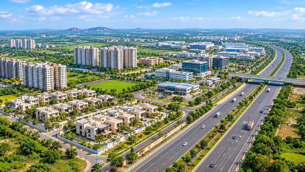
Road connectivity can influence where people build homes, industries, warehouses and commercial spaces. However, a proposed road does not automatically make every nearby village or plot a good investment.
Property buyers should understand the difference between existing road access and future infrastructure plans.
Areas Around ORR
Over time, the ORR has improved access to several parts of Hyderabad’s metropolitan region.
Locations such as the following often attract attention for residential and commercial development:
- Kokapet
- Narsingi
- Tellapur
- Kollur
- Patancheru
- Shamshabad
- Ghatkesar
However, each location has its own property market, infrastructure and approval conditions. Buyers should study these factors before making a decision.
Areas Along the Proposed RRR Corridors
The broad RRR corridors include:
- Sangareddy
- Narsapur
- Toopran
- Gajwel
- Bhongir
- Choutuppal
- Amangal
- Shadnagar
Better regional connectivity may support future economic activity in some of these locations. For example, improved road access could encourage logistics, warehousing, industrial facilities, housing and supporting commercial services.
However, these developments are possibilities, not guaranteed outcomes for every village or land parcel.
The actual impact will depend on several factors:
- Final road alignment
- Location of entry and exit points
- Availability of connecting roads
- Land-use permissions
- Construction progress and project completion
- Local infrastructure and market demand
Therefore, do not choose a property based only on its distance from the proposed RRR.
9. What Should Property Buyers Check Before Buying Near ORR or RRR?
If a seller says that a property is close to the ORR or RRR, do not make your decision based only on that claim. Instead, check the property’s actual location, road access and legal status.
Here are seven important checks.
1. Check the Exact Location
Ask for the village name, mandal, survey number and location pin. These details will help you identify the property’s exact location.
2. Check Actual Road Access
Find out how the property connects to an existing road or interchange. Remember, the straight-line distance on a map may not show the actual travel distance.
3. Verify the RRR Alignment
If you are considering land near the proposed RRR, compare its survey number with the latest official alignment and land acquisition records.
4. Check Land Use and Layout Approval
Verify the relevant HMDA, DTCP or other competent authority permissions, as applicable. Also, check whether the approved land use matches your intended purpose.
5. Review Title and Encumbrances
Ask a qualified property lawyer to review the title documents, link documents and Encumbrance Certificate (EC). This step can help you identify ownership-related issues and recorded transactions.
6. Check Land Restrictions
Find out whether the property falls under any of these restrictions:
- Land acquisition
- Master-plan roads
- Water bodies
- Full Tank Level (FTL) areas
- Buffer zones
- Other applicable land-use restrictions
7. Visit the Property
Finally, visit the location before making a decision. Check the existing roads, nearby facilities, public transport and actual travel time.
For more information, read our guides on:
10. Frequently Asked Questions
The ORR is an operational expressway of approximately 158 km around Hyderabad’s metropolitan area. In contrast, the RRR is a much larger regional road project planned outside the ORR to connect towns and highways across the wider region.
Hyderabad’s Nehru Outer Ring Road is approximately 158 km long. It is an eight-lane, access-controlled expressway.
Published government documents give different totals, generally around 350–362 km. Telangana’s Roads & Buildings programme lists 362 km, with a 161 km northern section and a 201 km southern section.
The broad northern corridor includes Sangareddy, Narsapur, Toopran, Gajwel, Jagdevpur, Bhongir and Choutuppal.
Meanwhile, the southern corridor broadly connects Choutuppal, Amangal, Shadnagar and Sangareddy. Check HMDA’s latest alignment documents for the exact route.
No. The RRR remains a project under development. The northern and southern sections have different progress levels, so buyers should check the latest government updates.
Yes. The proposed RRR runs much farther outside the existing ORR. It aims to connect a wider regional area around Hyderabad.
Better connectivity can influence property demand and future development. However, price increases are not guaranteed. The final route, access points, construction progress, local infrastructure, approvals and market conditions will all play a role.
A ring road forms a loop around a city or region. A radial road runs outward from the city or connects different parts of the road network. In some cases, radial roads also link two ring roads.
Conclusion
The ORR and RRR both play important roles in Hyderabad’s road network, but they serve different purposes.
The ORR already helps people travel around Hyderabad’s metropolitan area. Meanwhile, the RRR aims to connect towns and highways much farther outside the city.
If you are considering a property because of either road, check its actual road access, approved land use, title documents and the latest government alignment.
Remember, a road shown on a proposed map is not the same as a completed road that you can use today.
Understanding these differences will help you follow infrastructure developments more carefully and make better-informed property decisions.
Official Sources and Further Reading
- HMDA – ORR maps and information
- HMDA – Proposed RRR alignment and documents
- Telangana Roads & Buildings Department
- National Highways Authority of India (NHAI)
- Hyderabad Metropolitan Development Authority (HMDA)
Project details and alignments may change. This article provides general information, not legal, investment or route-navigation advice. Always verify current details with the relevant government authority before making a property or travel decision.